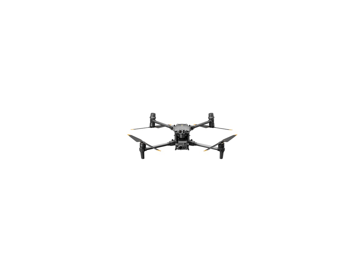
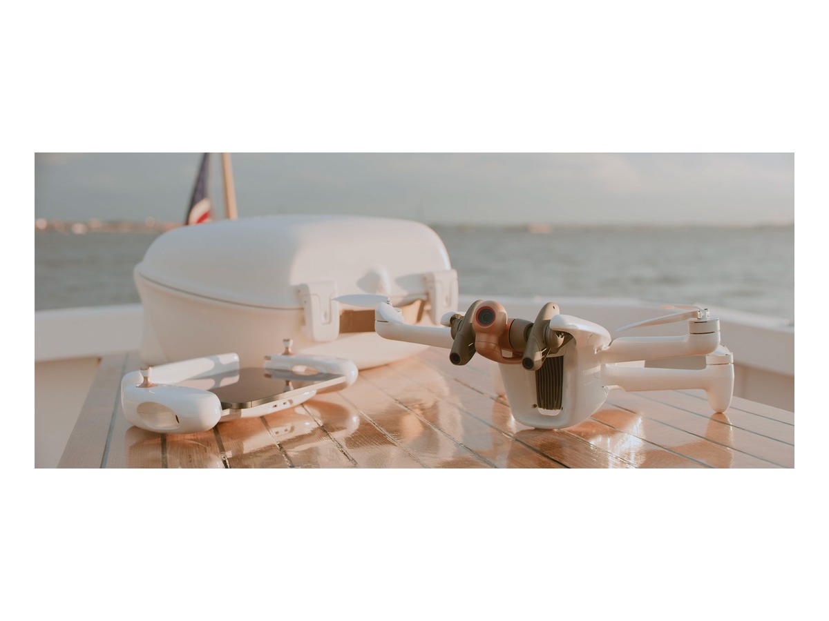
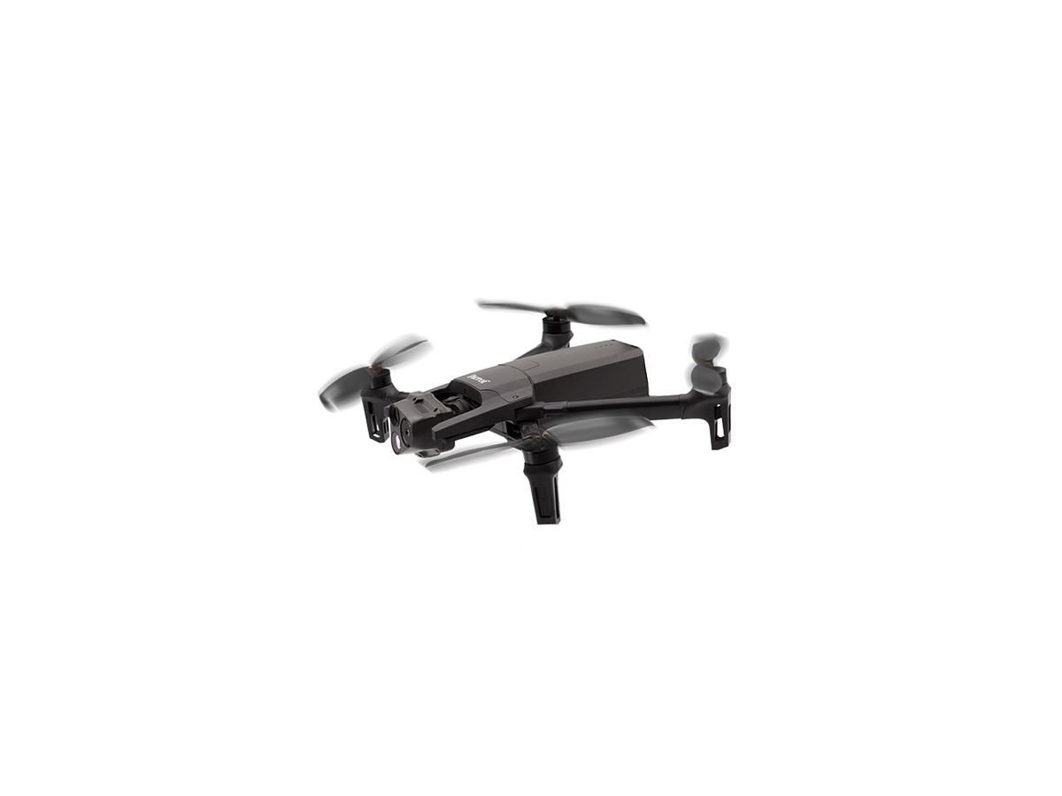
A Collection of Industrial Drones Changing the Standards for Inspection and Surveying
Collection Drones 2026.08.01

A Collection of Industrial Drones Changing the Standards for Inspection and Surveying

Real platforms tailored for fieldwork featuring thermal imaging, RTK, zoom, mapping, and multi-payload capabilities

Industrial drones serve a different purpose than consumer drones with excellent cameras. Surveying requires precise positioning and repetitive capturing, while facility inspections benefit from zoom and thermal imaging, and search operations prioritize rapid deployment and sharing.

This collection features actual products verified on the manufacturers' official pages, selected by their intended use. In the industrial category, the emphasis should be on mission sensors, data accuracy, organizational security, as well as the comprehensive operational system that includes training, maintenance, and authorization processes rather than just aircraft performance.

Implementing industrial drones requires not only training and insurance but also flight approvals, maintenance, battery storage, data security, and analysis software. It’s essential to establish test missions and inspection criteria first. Regulations are not determined solely by product weight, so one should also check for restrictions based on the purpose of photographing and the flight location. Differences in the configurations of aircraft and combos should be analyzed, including actual costs for remote controls, batteries, chargers, and storage devices. The officially stated maximum flight time and transmission distance reflect the conditions of tests, so it is advisable to operate with a conservative approach regarding return batteries and visual ranges. Developing the habit of checking firmware and home points, as well as the condition of propellers and batteries, can help reduce equipment loss and accidents. Regulations are not determined solely by product weight, so one should also check for restrictions based on the purpose of photographing and the flight location. Differences in the configurations of aircraft and combos should be analyzed, including actual costs for remote controls, batteries, chargers, and storage devices. The officially stated maximum flight time and transmission distance reflect the conditions of tests, so it is advisable to operate with conservative expectations for return batteries and visual ranges.
DJI Matrice 400
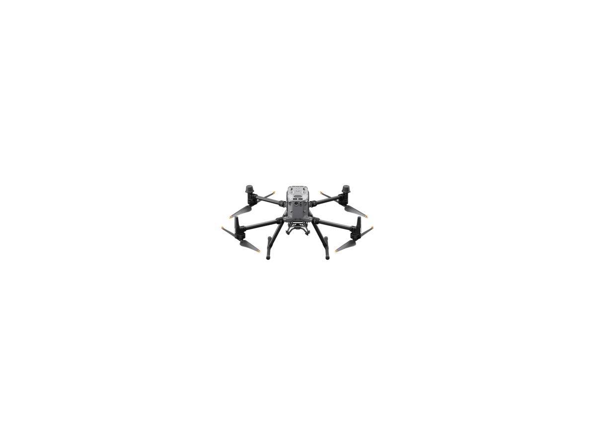
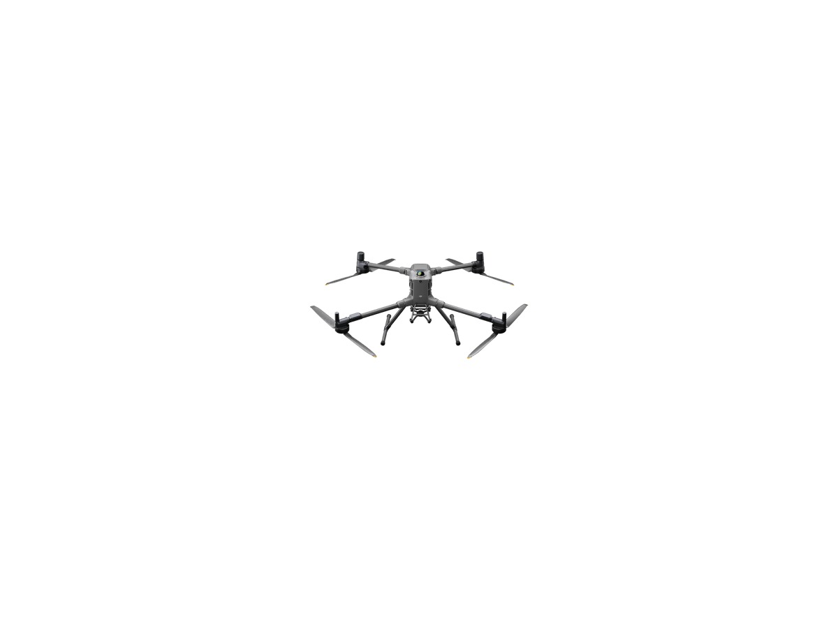
DJI Matrice 400

A large industrial platform that supports multi-gimbal operations and payloads of up to 6 kg, making it suitable for complex sensor missions. Actual flight times, weights, and approvals vary depending on the payload, and training, maintenance, insurance, and field safety plans must be established first. The product name and key configurations can be verified on the manufacturer's official page. In the industrial category, the emphasis should remain on mission sensors, data accuracy, organizational security, and the comprehensive operational system that includes training, maintenance, and authorization processes rather than just aircraft performance. It's advisable to compare the actual combo and compatible accessories that will be used.
바로가기
DJI Matrice 350 RTK

DJI Matrice 350 RTK

An industrial aircraft designed for surveying, inspections, and public safety missions using RTK precision positioning and various Zenmuse payloads. Simply purchasing the aircraft does not complete the mission; the design must include cameras, LIDAR, ground control stations, software, and data flow. The product name and key configurations can be verified on the manufacturer's official page. In the industrial category, the emphasis should remain on mission sensors, data accuracy, organizational security, and the comprehensive operational system that includes training, maintenance, and authorization processes rather than just aircraft performance. It's advisable to compare the actual combo and compatible accessories that will be used.
바로가기
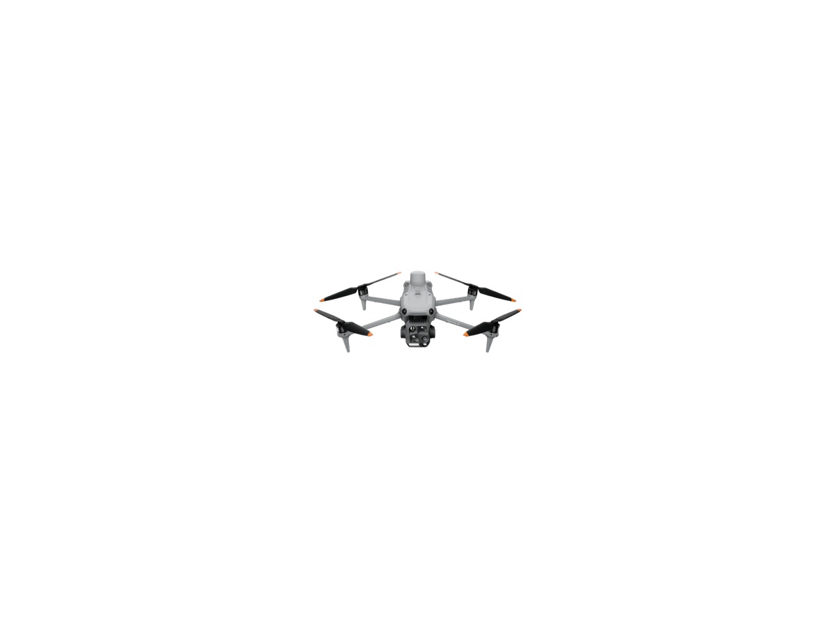
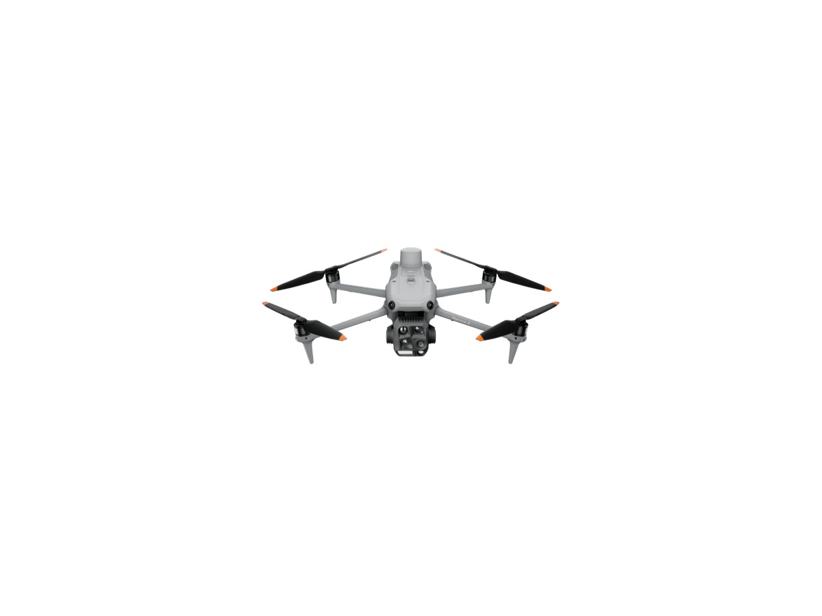
DJI Matrice 4T

DJI Matrice 4T

A small multi-sensor drone combining thermal imaging, wide-angle, and telescopic capabilities focused on search, firefighting, and facility inspections. Thermal imaging is not a definitive diagnosis tool; trained operators must interpret results, understanding emissivity, distance, and weather. The product name and key configurations can be verified on the manufacturer's official page. In the industrial category, the emphasis should remain on mission sensors, data accuracy, organizational security, and the comprehensive operational system that includes training, maintenance, and authorization processes rather than just aircraft performance. It's advisable to compare the actual combo and compatible accessories that will be used.
바로가기
DJI Matrice 4E

DJI Matrice 4E

A small industrial aircraft focused on precise surveying functions with a mechanical shutter camera, tailored for rapid mapping and construction/civil engineering data collection. Accuracy is influenced by RTK connections, ground control points, altitude, and overlap rates, so the specification of the aircraft alone cannot guarantee performance. The product name and key configurations can be verified on the manufacturer's official page. In the industrial category, the emphasis should remain on mission sensors, data accuracy, organizational security, and the comprehensive operational system that includes training, maintenance, and authorization processes rather than just aircraft performance. It's advisable to compare the actual combo and compatible accessories that will be used.
바로가기
DJI Mavic 3E

DJI Mavic 3E

A portable mapping drone equipped with a mechanical shutter and RTK option, suitable for rapid nadir image collection in small-scale fields. It differs from the consumer Mavic 3 in terms of app, remote control, and functionality, so check the licensing for work software and the result verification process. The product name and key configurations can be verified on the manufacturer's official page. In the industrial category, the emphasis should remain on mission sensors, data accuracy, organizational security, and the comprehensive operational system that includes training, maintenance, and authorization processes rather than just aircraft performance. It's advisable to compare the actual combo and compatible accessories that will be used.
바로가기
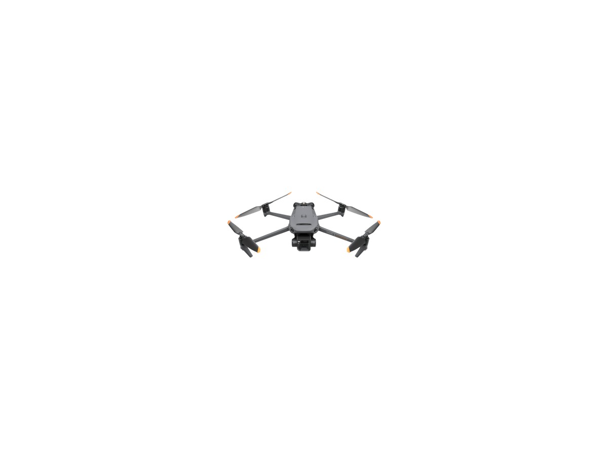
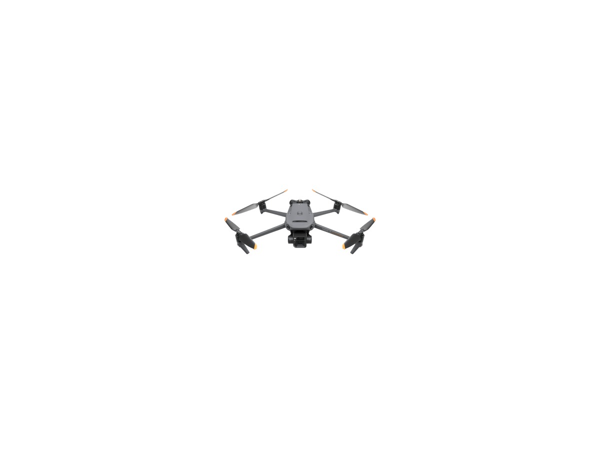
DJI Mavic 3T

DJI Mavic 3T

A portable aircraft combining thermal imaging, zoom, and wide-angle cameras for applications in solar power, electrical, and building inspections, as well as initial search operations. Temperature readings can be influenced by shooting conditions and the surface and are used as a screening tool to identify abnormalities, which should then be confirmed through professional inspections. The product name and key configurations can be verified on the manufacturer's official page. In the industrial category, the emphasis should remain on mission sensors, data accuracy, organizational security, and the comprehensive operational system that includes training, maintenance, and authorization processes rather than just aircraft performance. It's advisable to compare the actual combo and compatible accessories that will be used.
바로가기
DJI Matrice 30T

DJI Matrice 30T

A compact, weather-resistant aircraft combining zoom, wide-angle, thermal imaging, and laser distance measurement suited for public safety and inspection teams that need frequent mobility. The IP rating does not imply unlimited operation in all rain and contaminants, so weather limits, battery temperature, and maintenance procedures must be observed. The product name and key configurations can be verified on the manufacturer's official page. In the industrial category, the emphasis should remain on mission sensors, data accuracy, organizational security, and the comprehensive operational system that includes training, maintenance, and authorization processes rather than just aircraft performance. It's advisable to compare the actual combo and compatible accessories that will be used.
바로가기
Parrot ANAFI Ai

Parrot ANAFI Ai

A work-oriented drone offering 4G connectivity and an open SDK, particularly focused on photogrammetry workflows emphasizing communication and software integration. Note that having 4G does not automatically grant permission for flights beyond visual line-of-sight; one must review the telecom network, data policies, and national regulations. The product name and key configurations can be verified on the manufacturer's official page. In the industrial category, the emphasis should remain on mission sensors, data accuracy, organizational security, and the comprehensive operational system that includes training, maintenance, and authorization processes rather than just aircraft performance. It's advisable to compare the actual combo and compatible accessories that will be used.
바로가기
Parrot ANAFI USA

Parrot ANAFI USA

Combining 32x zoom, thermal imaging, security features, and a foldable structure aimed at rapid deployment in public safety and security settings. For professional products, it's crucial to align specifications, service, encryption policies with organizational data retention procedures. The product name and key configurations can be verified on the manufacturer's official page. In the industrial category, the emphasis should remain on mission sensors, data accuracy, organizational security, and the comprehensive operational system that includes training, maintenance, and authorization processes rather than just aircraft performance. It's advisable to compare the actual combo and compatible accessories that will be used.
바로가기

A good choice is not necessarily the most expensive or feature-rich product; it should naturally fit with the actual capturing and operational methods. In the industrial category, the emphasis should remain on mission sensors, data accuracy, organizational security, and the comprehensive operational system that includes training, maintenance, and authorization processes rather than just aircraft performance.

Before purchasing, it's wise to compare the standalone aircraft and combos, as well as app and remote control compatibility, battery coverage, and warranty options. For overseas models, checking for domestic service and radio compliance is also necessary.

After the flight, it’s important to inspect the aircraft and propellers and back up the raw shooting data and logs. Respecting people, property, and privacy, while maintaining visual contact in authorized areas, should take precedence over all functionality. Developing the habit of checking firmware and home points, as well as the condition of propellers and batteries, can help reduce equipment loss and accidents. The officially stated maximum flight time and transmission distance reflect test conditions, so returning batteries and maintaining visual contact should be operated conservatively. Differences in the configurations of aircraft and combos should be analyzed, including actual costs for remote controls, batteries, chargers, and storage devices. Regulations are not determined solely by product weight, so one should also check for restrictions based on the purpose of photographing and the flight location. Developing the habit of checking firmware and home points, as well as the condition of propellers and batteries, can help reduce equipment loss and accidents. The officially stated maximum flight time and transmission distance reflect test conditions, so returning batteries and maintaining visual contact should be operated conservatively.

댓글 0

로그인 후 댓글을 작성할 수 있습니다.

첫 댓글을 남겨보세요.

이런 리스트는 어때요?

이런 리스트도 추천해요

🎲

여기서 멈추기엔 아쉽잖아?

다음에 뭘 볼지 고민하는 시간이 제일 아까워.
주사위가 대신 골라줄게 — 무슨 리스트가 튀어나올지는 굴려봐야 알지.
안 누르면… 평생 궁금하지 않겠어? 👀

All menu
Login required
Log in
Categories
Language
Display mode

Drum roll… picking a list!

모하지
Use Mohazi as an app
Open it from your home screen and browse faster.
On iPhone, tap the Share button at the bottom of Safari, then choose “Add to Home Screen” to use it like an app.