
Collection
Ulleungdo
2026.08.31
Walking the Hidden Trails of Ulleungdo: 8 Forest Paths and Trekking Spots
Reading the Terrain from Seonginbong's Pristine Forest to Al Bong and Jukdo
The mountain paths of Ulleungdo can be difficult to judge by altitude alone. Even on short distances, you'll encounter steep stairs, wet roots, and windy ridges, with many courses that start and end at different points. This list includes various walking experiences ranging from the summit of Seonginbong and its pristine forest, Shingnyeongsu and Al Bong in the inside of Nari Basin, Giddaebong and Songgotsan in the north, to the island's own Jukdo and the Taehadong Lighthouse path.
Rather than solely aiming for summits, taking your time to observe the changes in volcanic terrain and vegetation is the essence of trekking in Ulleungdo. When it rains, wooden stairs and rocky paths can become very slippery, and during winter and strong winds, the trails may be closed. Be sure to check the trekking areas and bus schedules before leaving, and choose between forest walks and serious hikes according to your stamina.
Rather than solely aiming for summits, taking your time to observe the changes in volcanic terrain and vegetation is the essence of trekking in Ulleungdo. When it rains, wooden stairs and rocky paths can become very slippery, and during winter and strong winds, the trails may be closed. Be sure to check the trekking areas and bus schedules before leaving, and choose between forest walks and serious hikes according to your stamina.
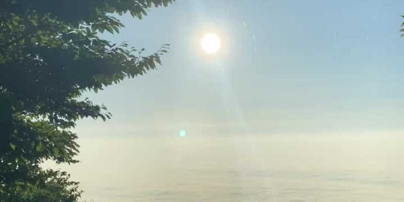
Seonginbong Summit
Check the weather and trail conditions and calculate your descent time before sunset. If you're unfamiliar, you should include transport options for descending Nari Basin in your route planning.
주소 경북 울릉군 울릉읍 사동리 산 35
방문 팁 기상과 탐방로 상태를 확인하고 일몰 전 하산 시간을 역산하세요. 익숙하지 않다면 나리분지 하산 교통까지 포함해 코스를 정해야 합니다.
관광 안내 https://korean.visitkorea.or.kr/detail/rem_detail.do?cotid=6b426b60-2971-482b-9702-0572ccd727ef
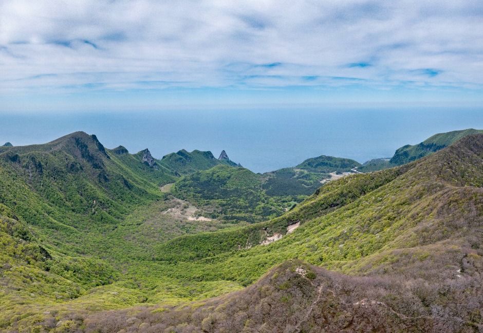
Seonginbong Pristine Forest
In the natural monument protection area, do not stray from designated paths or collect plants, and be careful of slipping on wet roots and wooden stairs.
주소 경북 울릉군 북면 나리 산 44-1
방문 팁 천연기념물 보호 구역에서는 지정 탐방로를 벗어나거나 식물을 채취하지 말고, 젖은 뿌리와 목재 계단에서 미끄럼을 주의하세요.
관광 안내 https://korean.visitkorea.or.kr/detail/rem_detail.do?cotid=6b426b60-2971-482b-9702-0572ccd727ef
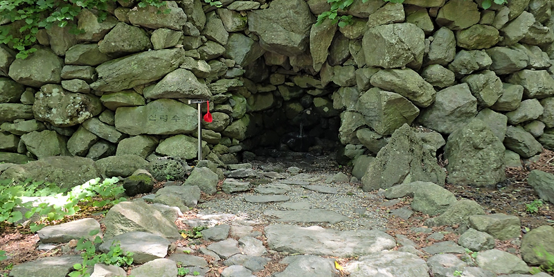
Sinryeongsu Spring
Shingnyeongsu Water Spring
Follow on-site guidance regarding the availability of the water spring, and prepare drinking water separately. After rain, the wooden decks and rocky paths nearby can be slippery.
주소 경북 울릉군 북면 나리 산 36
방문 팁 약수 이용 가능 여부는 현장 안내를 따르고, 식수는 별도로 준비하세요. 비 온 뒤에는 주변 목재 데크와 돌길이 미끄럽습니다.
관광 안내 https://korean.visitkorea.or.kr/detail/rem_detail.do?cotid=6b426b60-2971-482b-9702-0572ccd727ef
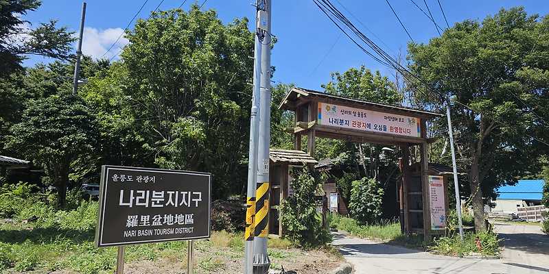
Albong
Al Bong
Prioritize open trails and signs over directly heading for the summit. Be cautious not to accidentally enter agricultural areas or residential zones.
주소 경북 울릉군 북면 나리 산 28
방문 팁 정상 직행 여부보다 현장에 개방된 탐방로와 이정표를 우선하세요. 농경지와 주민 생활 구역으로 임의 진입하지 않도록 주의해야 합니다.
관광 안내 https://korean.visitkorea.or.kr/detail/rem_detail.do?cotid=6b426b60-2971-482b-9702-0572ccd727ef
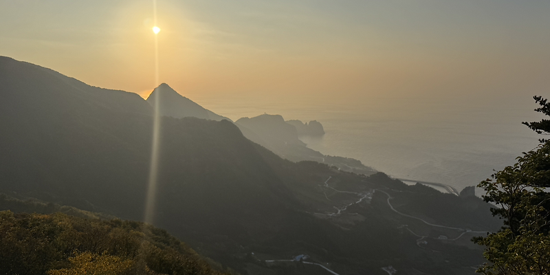
Gidae Bong
Giddaebong
Although it may look short, there are steep sections, so wear non-slip shoes, and if the fog is thick, prioritize safety and returning over the view.
주소 경북 울릉군 북면 나리 산 24-1
방문 팁 짧아 보여도 경사가 있는 구간이 있으므로 미끄럼 방지 신발을 신고, 안개가 짙으면 전망보다 안전한 회귀를 우선하세요.
관광 안내 https://korean.visitkorea.or.kr/detail/rem_detail.do?cotid=6b426b60-2971-482b-9702-0572ccd727ef
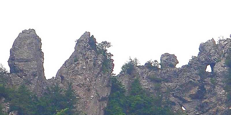
Songgot Mountain
Songgotsan
Instead of tackling the peak directly, use the officially guided paths and viewpoints in the surrounding area. Be sure to distinguish between private properties and lodging facilities.
주소 경북 울릉군 북면 나리 산 21-1
방문 팁 암봉 자체의 무리한 직등보다 공식적으로 안내된 주변 길과 전망 지점을 이용하세요. 사유지와 숙박시설 구역도 구분해야 합니다.
관광 안내 https://korean.visitkorea.or.kr/detail/rem_detail.do?cotid=6b426b60-2971-482b-9702-0572ccd727ef
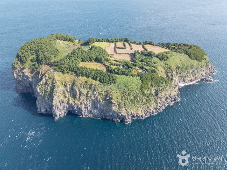
Jukdo
Transportation to Jukdo may be canceled depending on weather conditions and wave heights, so check return trips and duration of stay, and consider the residents' living spaces and crops.
주소 경북 울릉군 울릉읍 죽도길 52
방문 팁 입도 선박은 날씨와 파고에 따라 결항될 수 있으므로 왕복편과 체류 시간을 확인하고, 주민 생활 공간과 농작물을 배려하세요.
관광 안내 https://korean.visitkorea.or.kr/detail/rem_detail.do?cotid=6b426b60-2971-482b-9702-0572ccd727ef
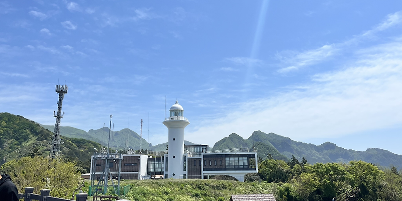
Taehwa Lighthouse
Taehadong Lighthouse
Check the opening status of the lighthouse and viewing areas, as well as the operation of the monorail, and adjust your viewing time so you don’t miss the descent.
주소 경북 울릉군 서면 태하등대길 188
방문 팁 등대와 전망 구역의 개방 상태, 모노레일 운행을 확인하고 하행 시간을 놓치지 않도록 관람 시간을 조절하세요.
관광 안내 https://korean.visitkorea.or.kr/detail/rem_detail.do?cotid=6b426b60-2971-482b-9702-0572ccd727ef
The eight spots are not a single trail to tackle at once. Seonginbong, the pristine forest, Shingnyeongsu, and Al Bong can be linked for a day hike together with Nari Basin, while Giddaebong and Songgotsan can be on a separate itinerary for the northern route, and Jukdo and the Taehadong Lighthouse should be approached based on the operation of boats and monorails for safety. If the starting and ending points are different, secure your return transport first.
Prepare hiking boots, enough water, snacks, rain gear, and layers for warmth, and don’t rely solely on your phone's map—follow the on-site signs instead. It’s also crucial to respect the designated trekking paths and not to step on or collect protected plants. Observing the species of trees in the forest, the topography of the basin, and the ridges that drop to the coast will help you appreciate the fact that Ulleungdo is one large volcanic system more profoundly than just taking summit photos.
Prepare hiking boots, enough water, snacks, rain gear, and layers for warmth, and don’t rely solely on your phone's map—follow the on-site signs instead. It’s also crucial to respect the designated trekking paths and not to step on or collect protected plants. Observing the species of trees in the forest, the topography of the basin, and the ridges that drop to the coast will help you appreciate the fact that Ulleungdo is one large volcanic system more profoundly than just taking summit photos.
At a glance
8 items
Locations at a glance
8 places
As part of the Coupang Partners program, this post may earn a commission from qualifying purchases.
Comments 0
Log in to leave a comment.
Be the first to comment.
How about these lists?


You might also like


🎲
Not ready to stop here?
Wondering what to read next is the biggest waste of time.
Let the dice decide — you won't know what pops up until you roll.
If you don't press it… won't you wonder forever? 👀
