Collection
Gwangju
2026.08.21
The Outline of Gwangju Becomes Clearer with Every Step Higher
Views of Mudeungsan's Geological Landscape and the Surrounding Mountains
Views of Gwangju are not limited to just one observation tower. At places like Mudeungsan Jangbuljae, Jungmeori jae, Seoseokdae, and Ipsukdae, you can see the scale of the plateau and columnar joints, while Buwonjae, Gunwangbong, Geumdangsan, and Eodeungsan showcase the lifestyles of different districts like Buk-gu, Nam-gu, and Gwangsan-gu spread out in various directions.
This list excludes the existing Sajik Park observation tower, Sechang Sensory Viewing Platform, and Jatgogae, focusing on eight actual hiking spots instead. Rather than simply listing the highest places, I've provided specific explanations of the differences you can see in photos of geological landscapes, ridges, apartment skylines, and plains from each location. Checking operation information and weather conditions before your visit will give you more time to consider your composition on-site.
This list excludes the existing Sajik Park observation tower, Sechang Sensory Viewing Platform, and Jatgogae, focusing on eight actual hiking spots instead. Rather than simply listing the highest places, I've provided specific explanations of the differences you can see in photos of geological landscapes, ridges, apartment skylines, and plains from each location. Checking operation information and weather conditions before your visit will give you more time to consider your composition on-site.
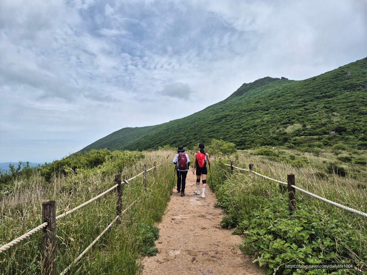
Mudeungsan Jangbuljae Pass
Mudeungsan Jangbuljae
At Mudeungsan Jangbuljae, photos become richer when you read the flow of space rather than just focusing on famous shots. Capturing the vast plateau and the direction of the Mudeungsan's columnar joints highlights the scale of the ridges and the open sky. The recommended time is in the morning when visibility is clear. Make sure to check the weather and trail restrictions, and prepare windbreak gear and enough water. Lowering the brightness on your phone helps preserve the colors of the sky and light, and taking both vertical and horizontal compositions makes it easier to use later.
주소 광주광역시 동구 용연동 산 354-5
촬영 포인트 넓은 고원과 무등산 주상절리 방향을 함께 담으면 능선의 규모와 열린 하늘이 강조된다.
추천 시간 시야가 맑은 오전
현장 팁 기상과 탐방로 통제를 확인하고 방풍 장비와 충분한 물을 준비한다.
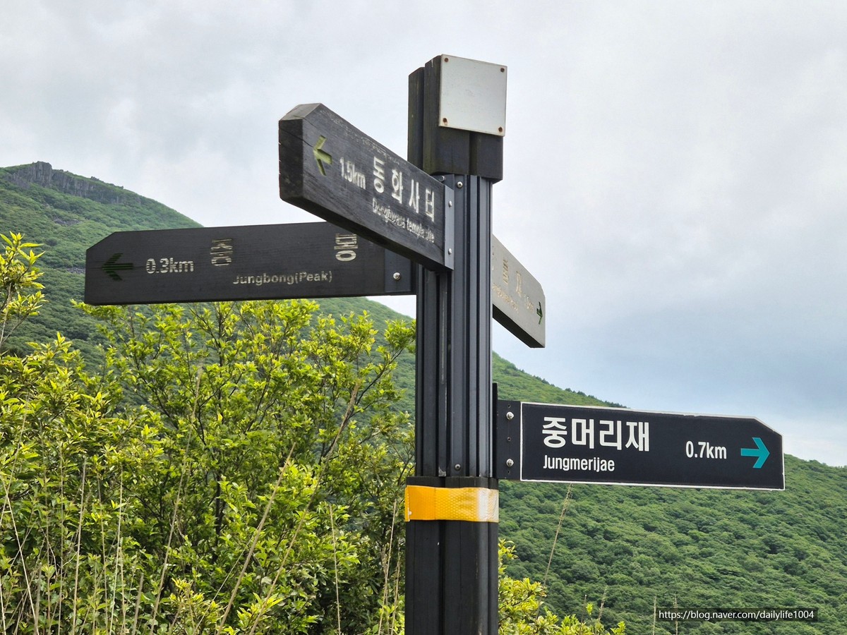
Mudeungsan Jungmeorijae Pass
Mudeungsan Jungmeori jae
If you're looking for a different scene from Gwangju's familiar tourist spots, take your time exploring Mudeungsan Jungmeori jae. Overlapping the junction of trails with the mountain ridges reveals the depth of the path leading to the summit in Gwangju. The recommended time is in the morning before the sunlight becomes too strong. Don’t occupy rest areas for visitors and stay on designated trails. Taking portraits a few steps away from the background with an angle of around 2x can reduce distortion between architecture and landscape.
주소 광주광역시 동구 용연동 산 354-3
촬영 포인트 등산로가 만나는 고개와 산 능선을 겹치면 광주에서 정상부로 이어지는 길의 깊이가 보인다.
추천 시간 역광이 강해지기 전 오전
현장 팁 탐방객 휴식 공간을 점유하지 말고 지정 탐방로 밖으로 나가지 않는다.
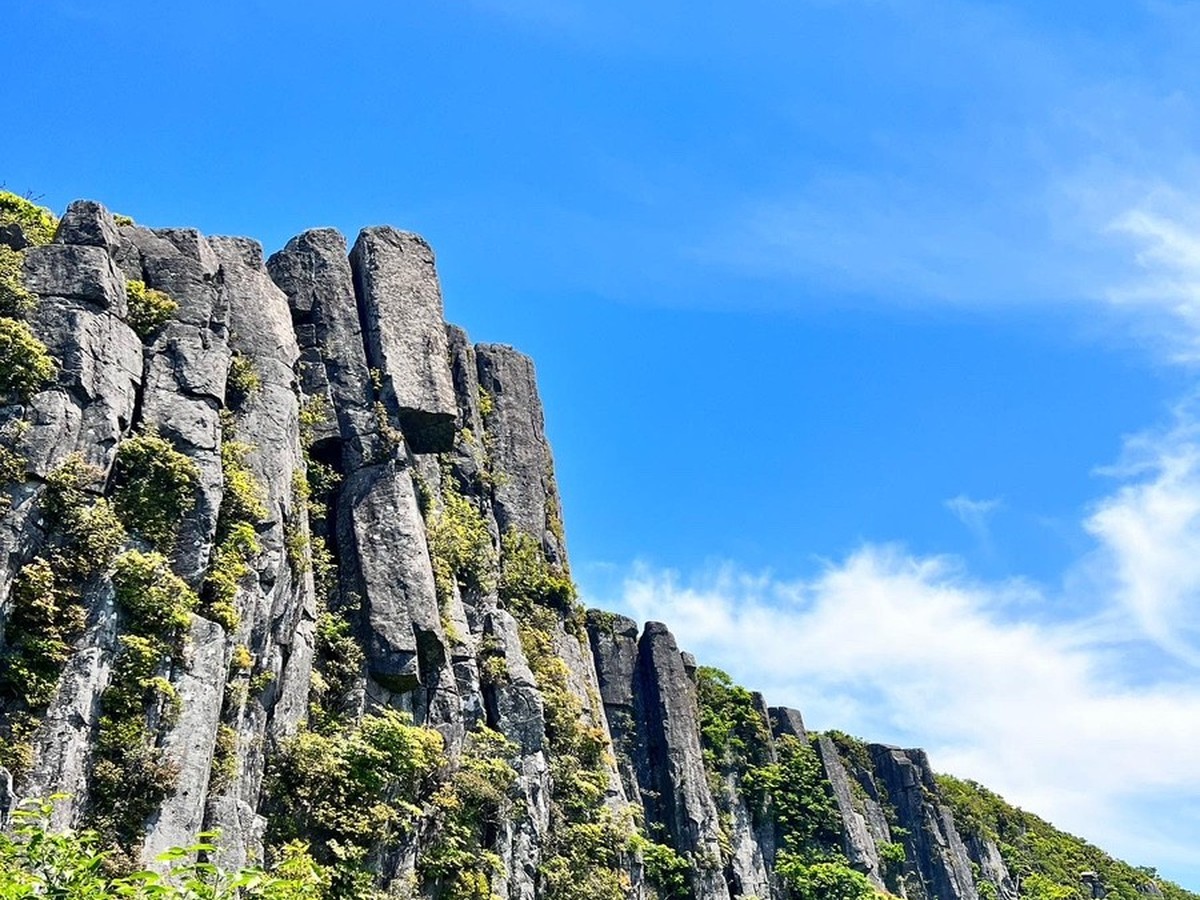
Mudeungsan Seoseokdae
At Mudeungsan Seoseokdae, a shooting style that divides the wide scenery and the texture of small elements works well. Capturing the massive vertical rock pillars and the sky from a low viewpoint brings the power of Mudeungsan's geological landscape to life. The recommended time is in the morning when clouds are not low. Avoid approaching cliffs and protected areas, and in icy conditions, remember to follow safety guidelines and equip crampons. After taking photos, noting the direction of the light, the level of crowding, and the access route will help when you return in a different season.
주소 광주광역시 동구 용연동 산 354-1
촬영 포인트 수직 절리의 거대한 돌기둥과 하늘을 낮은 시점으로 담으면 무등산 지질 경관의 힘이 살아난다.
추천 시간 구름이 낮지 않은 오전
현장 팁 암벽과 보호 구역에 접근하지 말고 결빙기에는 아이젠과 안전 지침을 따른다.
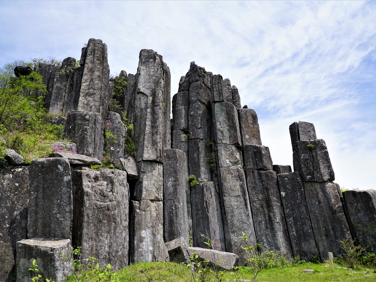
Mudeungsan Ipseokdae
Mudeungsan Ipsukdae
Instead of focusing solely on the person in the foreground, leaving the surrounding context makes the uniqueness of Mudeungsan Ipsukdae clearer. Placing the columnar joints standing like a folding screen and the hiking trail characters smaller creates a powerful expression of the natural structure's overwhelming size. The recommended time is late morning when side lighting is present. Stay inside the protected lines and avoid climbing on or leaning against rocks. Lowering the brightness on your phone helps preserve colors and taking both vertical and horizontal compositions makes it easier to use.
주소 광주광역시 동구 용연동 산 354 일대
촬영 포인트 병풍처럼 선 주상절리와 탐방로 인물을 작게 배치하면 자연 구조의 압도적인 크기가 표현된다.
추천 시간 측면광이 드는 늦은 오전
현장 팁 지질 명소 보호선을 넘지 말고 바위에 기대거나 올라가지 않는다.
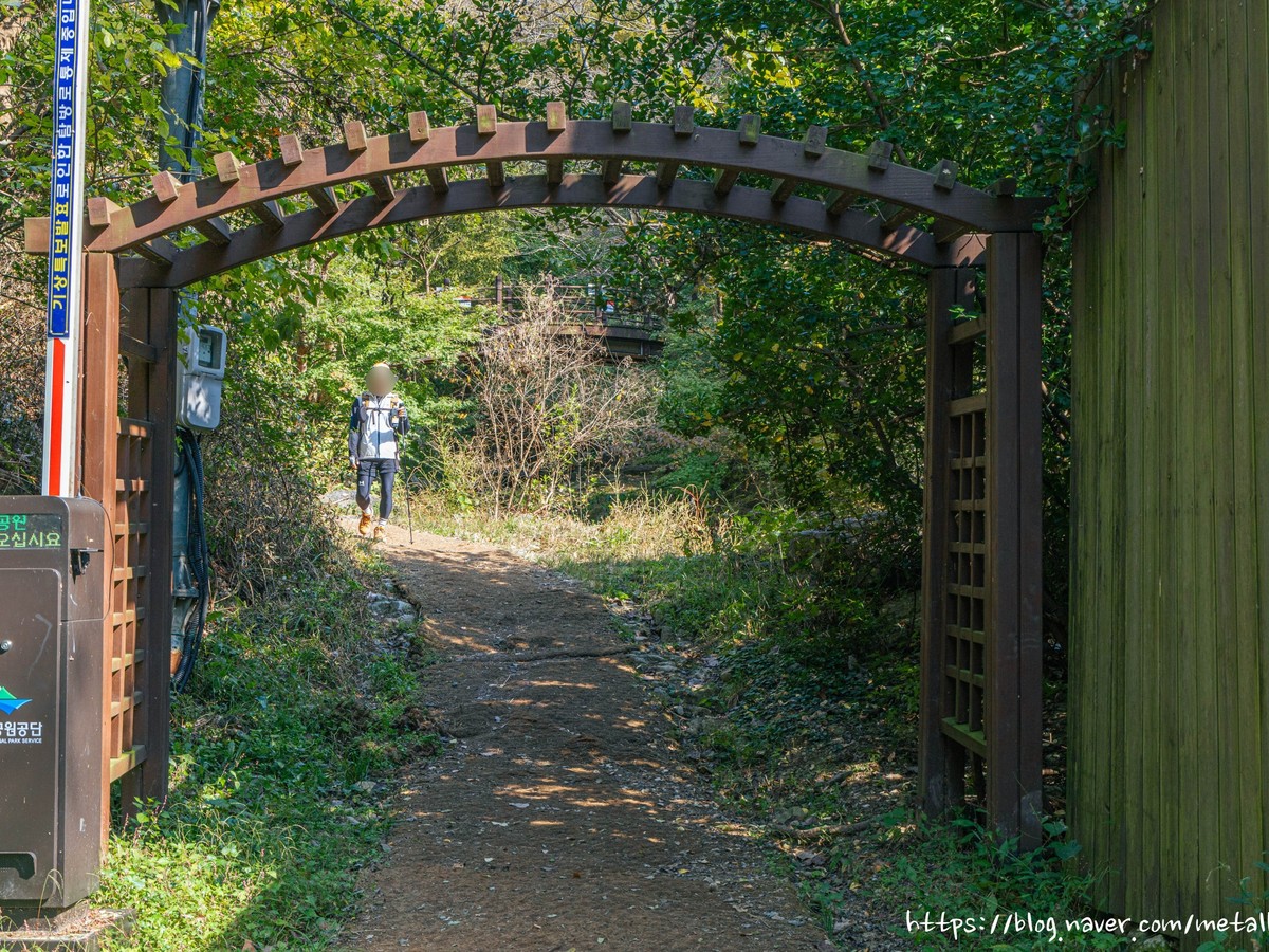
Mudeungsan Baramjae Pass
Mudeungsan Buwonjae
At Mudeungsan Buwonjae, photos become richer when you read the flow of space rather than focusing on famous shots. By capturing the open saddle between the forest paths and Gwangju city, your gaze naturally descends from the mountain to the city. The recommended time is in the late afternoon when fine dust is less. Be careful of strong winds and slipping leaves while leaving space for hikers to pass through. Taking portraits a few steps away from the background with an angle of around 2x can reduce distortion between architecture and landscape.
주소 광주광역시 북구 화암동 산 13 일대
촬영 포인트 숲길 사이로 열린 고개와 광주 시가지를 함께 담으면 산에서 도시로 시선이 자연스럽게 내려간다.
추천 시간 미세먼지가 적은 늦은 오후
현장 팁 강풍과 낙엽 미끄럼을 주의하고 등산객이 지나갈 폭을 남긴다.
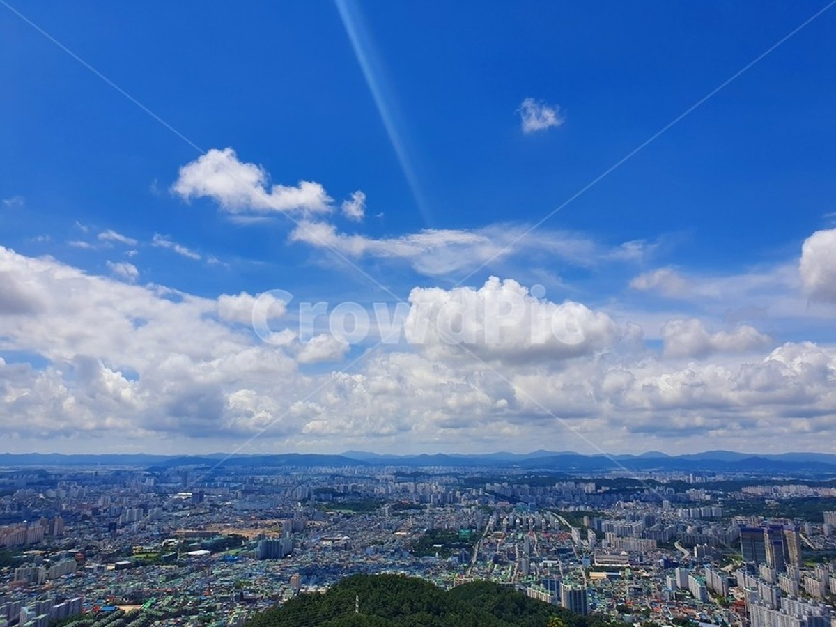
Gunwangbong Peak
Gunwangbong
If you're looking for a different scene from Gwangju's familiar tourist spots, take your time exploring Gunwangbong. Capturing the boundary between the residential area of Buk-gu and the foot of Mudeungsan from the summit reveals the contrast between the city and the mountain. The recommended time is one hour before sunset. Even for a short hike, remember to pack lighting and water, and descend before it gets dark. Noting the direction of light, crowding, and access routes after taking photos will help when you return in a different season.
주소 광주광역시 북구 청풍동 산 4 일대
촬영 포인트 정상부에서 북구 주거지와 무등산 자락을 나눠 담으면 도시와 산의 경계가 선명해진다.
추천 시간 노을 한 시간 전
현장 팁 짧은 산행이라도 조명과 물을 챙기고 어두워지기 전에 하산한다.
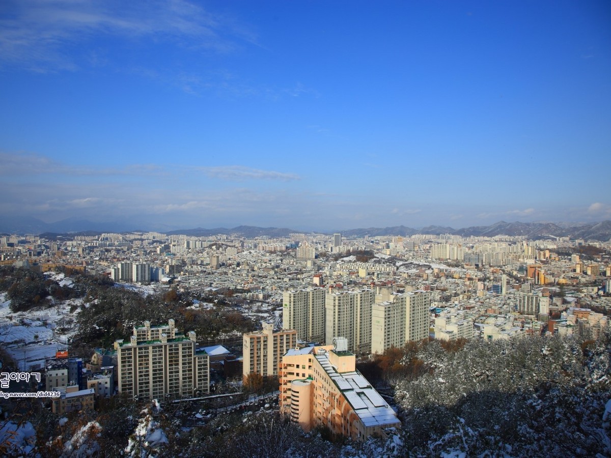
Geumdangsan Mountain
Geumdangsan
At Geumdangsan, a shooting style that divides the wide scenery and the texture of small elements works well. Looking down at the forests of apartments in Nam-gu and Seo-gu, Gwangju's lifestyle skyline unfolds in a wide panorama. The recommended time is around sunset with good visibility. Do not approach the cliff edges and prepare lights for nighttime descents. Lowering the brightness on your phone helps preserve colors and taking both vertical and horizontal compositions makes it easier to use.
주소 광주광역시 남구 진월동 산 204
촬영 포인트 남구와 서구 아파트 숲을 내려다보면 광주의 생활권 스카이라인이 넓은 파노라마로 펼쳐진다.
추천 시간 시정이 좋은 해 질 무렵
현장 팁 정상 암반 가장자리에 다가가지 말고 야간 하산용 조명을 준비한다.
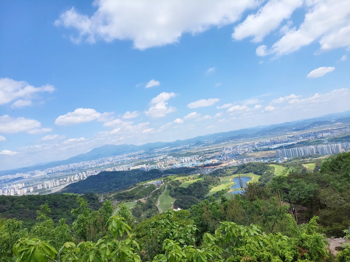
Eodeungsan Mountain
Eodeungsan
Instead of focusing solely on the person in the foreground, leaving the surrounding context makes the uniqueness of Eodeungsan clearer. Capturing the plains of Gwangsan-gu and the urban development axis broadly reveals the low, long horizon of the western Gwangju. The recommended time is in the morning after the fog has lifted or just before sunset. Check the directions of military and private facilities and access restrictions, and only use designated trails. Taking portraits a few steps away from the background with an angle of around 2x can reduce distortion between architecture and landscape.
주소 광주광역시 광산구 운수동 산 152-3
촬영 포인트 광산구 평야와 도시 개발축을 넓게 담으면 광주 서쪽의 낮고 긴 수평선이 드러난다.
추천 시간 안개가 걷힌 오전 또는 일몰 전
현장 팁 군사·사유 시설 방향과 출입 통제를 확인하고 정규 등산로만 이용한다.
When capturing mountain views, it's important to create layers in the foreground, midground, and background rather than just focusing on achieving a summit shot. By placing nearby rocks or branches in the foreground and separating the city and ridges into mid and background, you can enhance your composition. At Seoseokdae and Ipsukdae, using a vertical composition to capture the height of rock pillars and a panoramic shot for the lifestyle mountains will make the differences between locations clearer.
Just because the view is great, you shouldn't approach the edges of cliffs or the protected areas. Before you set out, check the trail restrictions, weather, and sunset times, and prepare water, windbreak gear, and lights for your descent. On days with heavy fine dust or fog, careful judgment against pushing your limits is essential for a safe photography trip.
Just because the view is great, you shouldn't approach the edges of cliffs or the protected areas. Before you set out, check the trail restrictions, weather, and sunset times, and prepare water, windbreak gear, and lights for your descent. On days with heavy fine dust or fog, careful judgment against pushing your limits is essential for a safe photography trip.
At a glance
8 items
Locations at a glance
8 places
As part of the Coupang Partners program, this post may earn a commission from qualifying purchases.
Comments 0
Log in to leave a comment.
Be the first to comment.
How about these lists?


You might also like


🎲
Not ready to stop here?
Wondering what to read next is the biggest waste of time.
Let the dice decide — you won't know what pops up until you roll.
If you don't press it… won't you wonder forever? 👀