
Collection
Travel to China
2026.08.23
The Outdoors of Shenzhen from Waterfalls to Mountain Ridges
Selecting Peaks, Waterfalls, and Forest Trails According to Difficulty and Season for Natural Tourism in Shenzhen
Shenzhen's nature offers great variation in mountain trails just as it does along the beaches. The peak of Daotong (다우퉁) provides a long-distance hike with vast views of the city and towards Hong Kong, while the Longtan Waterfall (룽탄폭포) and Biling Waterfall (비링폭포) areas offer an up-close experience of the strength of trees and water after rain. Phoenix Mountain (펑황산) and Yangtai Mountain (양타이산) connect temples, forests, and city views in the western living area, and Pinglan Mountain (핑롼산) is ideal for a relatively short urban walk.
The main peaks of Qinyang Mountain (치냥산) and Sanshoutian (산저우톈) in the east require careful planning regarding physical ability and transport. Inhushan (인후산) showcases a long green corridor to the north of the urban center. Even at the same height, variations in trails, shade, water sources, and return transport mean you should prioritize estimated time spent rather than distance. During typhoons, heavy rain, or lightning forecasts, it's best to cancel visits to waterfalls and mountain ridges and to prioritize officially opened pathways and park operating hours.
The main peaks of Qinyang Mountain (치냥산) and Sanshoutian (산저우톈) in the east require careful planning regarding physical ability and transport. Inhushan (인후산) showcases a long green corridor to the north of the urban center. Even at the same height, variations in trails, shade, water sources, and return transport mean you should prioritize estimated time spent rather than distance. During typhoons, heavy rain, or lightning forecasts, it's best to cancel visits to waterfalls and mountain ridges and to prioritize officially opened pathways and park operating hours.
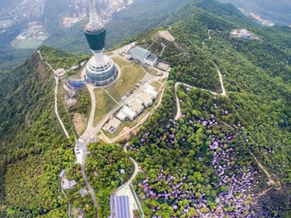
Dawutong Peak
Daotong Peak
To fully appreciate Daotong Peak, connecting its distinction as the highest peak in Shenzhen with long-distance hiking goals that offer views of Luohu (뤄후), Yantian (옌톈), Dapeng Bay (다펑만), and toward Hong Kong is advisable. The Chinese address for Daotong Peak is ‘深圳市罗湖区梧桐山风景区大梧桐顶’. Before visiting, check the official hiking trails and mountain gate hours, and abandon the summit section in case of fog, lightning, or strong winds. To prepare for operational changes, also check Daotong Peak’s official account or updated maps. At Daotong Peak, if there are forecasts of heavy rain, typhoons, or lightning, cancel visits to valleys and ridges and prioritize park closure notices. Record both the actual access difficulty and useful viewing points at Daotong Peak.
주소 深圳市罗湖区梧桐山风景区大梧桐顶
방문 확인 공식 등산로와 산문 시간을 확인하고 안개·번개·강풍에는 정상 구간을 포기한다
Maluan Mountain Longtan Waterfall Group
Maran Mountain Longtan Waterfall
Saving ‘深圳市坪山区马峦山郊野公园龙潭瀑布群’ on your map makes it easier to distinguish between the Maran Mountain Longtan Waterfall and places of the same name. The focus here isn’t on abstract fame, but rather on the fact that the Longtan Waterfall connects several tiers of waterfalls and valley forests, allowing for close observation of the Maran Mountain watershed. The most important factor when visiting Longtan Waterfall is checking for valley closures and slippery rocks after heavy rain and not entering beyond the safety lines near the water. Be sure to check for closures, controls, or changes to the Maran Mountain Longtan Waterfall's status the day of departure. Following protocol, if there are forecasts of heavy rain, typhoons, or lightning, prioritize park closure notices and cancel visits to the valleys and ridges. Record on-site experiences alongside travel times at Longtan Waterfall.
주소 深圳市坪山区马峦山郊野公园龙潭瀑布群
방문 확인 폭우 뒤 계곡 통제와 미끄러운 돌을 확인하고 물가 안전선 밖으로 들어가지 않는다
Maluan Mountain Bilin Waterfall Group
Maran Mountain Biling Waterfall
To make the most of your visit to Maran Mountain Biling Waterfall, connect the background of a gentle forest trail and consecutive waterfalls for a pleasant eastward hiking stretch where you can compare water levels by season. The Chinese address is ‘深圳市坪山区碧岭街道马峦山碧岭瀑布群’. Before visiting Biling Waterfall, confirm weekend parking, entrance controls, and return times, and adhere to swimming prohibitions. To prepare for operational changes, keep an eye on the Maran Mountain Biling Waterfall’s official account or updated maps. In case of heavy rain, typhoon, or lightning forecasts, cancel visits to valleys and ridges, prioritizing park closure notices. Record both the actual access difficulty and useful viewing points at Biling Waterfall.
주소 深圳市坪山区碧岭街道马峦山碧岭瀑布群
방문 확인 주말 주차·입구 통제와 반환 시간을 확인하고 물놀이 금지 구역을 지킨다
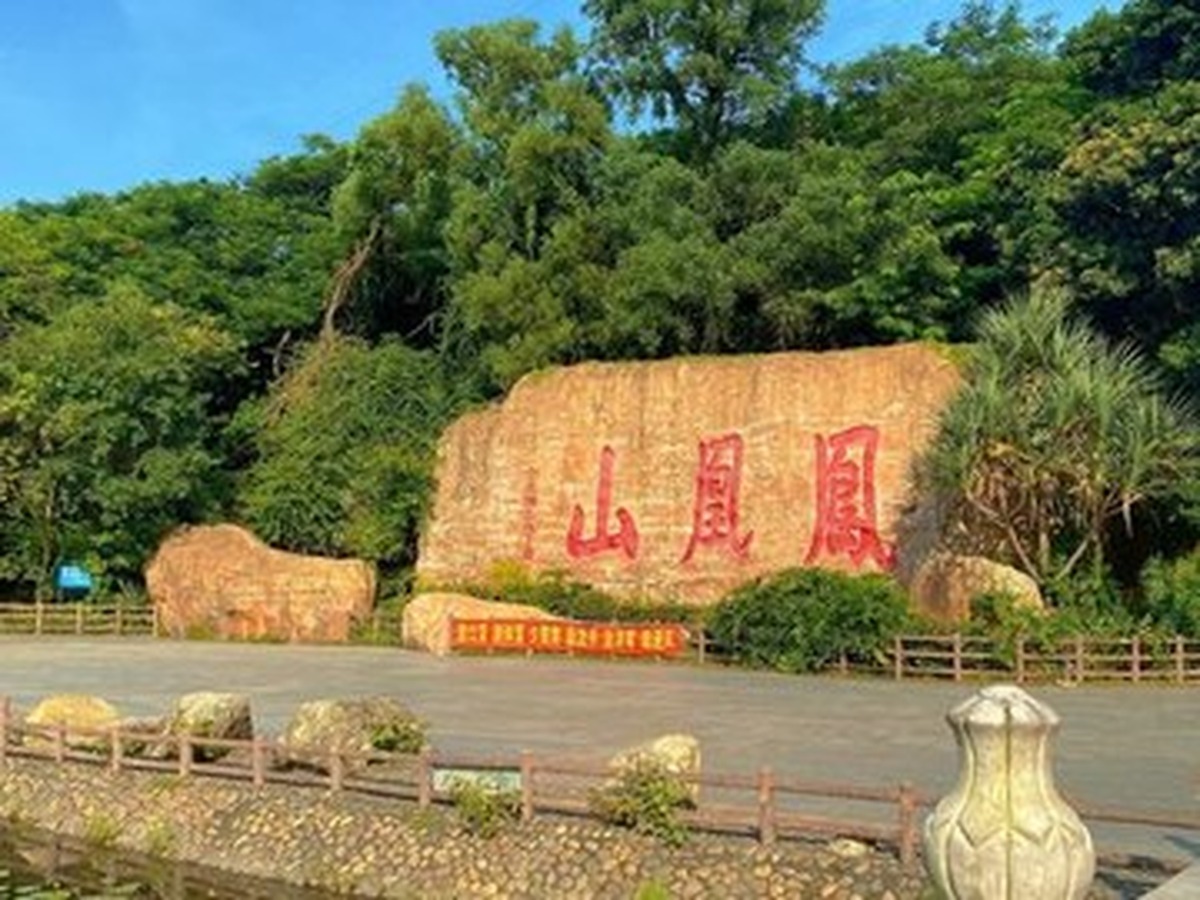
Fenghuangshan Forest Park
Phoenix Mountain Forest Park
Saving ‘深圳市宝安区福永街道凤凰山大道’ on your map helps distinguish Phoenix Mountain Forest Park from other places with the same name. The essence here isn’t simply fame, but the ability to experience the rural village, temple, unique rock formations, and the western view of Bao'an all in a forest park setting. Key considerations for using Phoenix Mountain Forest Park include delineating paths for temple visits and hikers while checking descent routes and bus stops before sunset. Revisit the status of closures, controls, or location changes for Phoenix Mountain Forest Park the day of departure. During heavy rain, typhoon, or lightning forecasts, prioritize park closure notices and cancel visits to valleys and ridges. Also, record experiences during your visit along with the time taken.
주소 深圳市宝安区福永街道凤凰山大道
방문 확인 사찰 참배 동선과 등산객 길을 구분하고 일몰 전 하산로와 버스 정류장을 확인한다
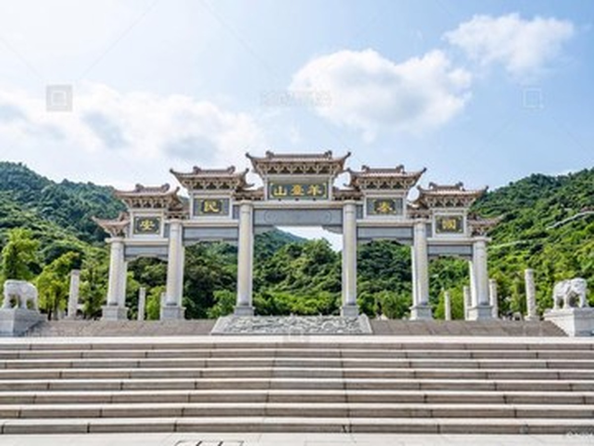
Yangtaishan Forest Park
Yangtai Mountain Forest Park
You can find Yangtai Mountain Forest Park at ‘深圳市龙华区大浪街道福龙路阳台山森林公园’. When visiting, look for the surrounding forests by the reservoir and enjoy views of Longhua (룽화) and Bao'an cityscapes from the long ridges, defining its character as a western mountain park. Practical tips before visiting include deciding on a starting and arrival point since the entrances span several districts; don't attempt a long trek unnecessarily. If you find conflicting information between the official account and updated maps, it’s safest to contact Yangtai Mountain Forest Park directly. Furthermore, if there are forecasts of heavy rain, typhoons, or lightning, cancel visits to valleys and ridges, and prioritize park closure notices. After your visit, note down the most impressive details.
주소 深圳市龙华区大浪街道福龙路阳台山森林公园
방문 확인 입구가 여러 구에 걸쳐 있어 출발·도착 지점을 정하고 장거리 종주를 무리하지 않는다
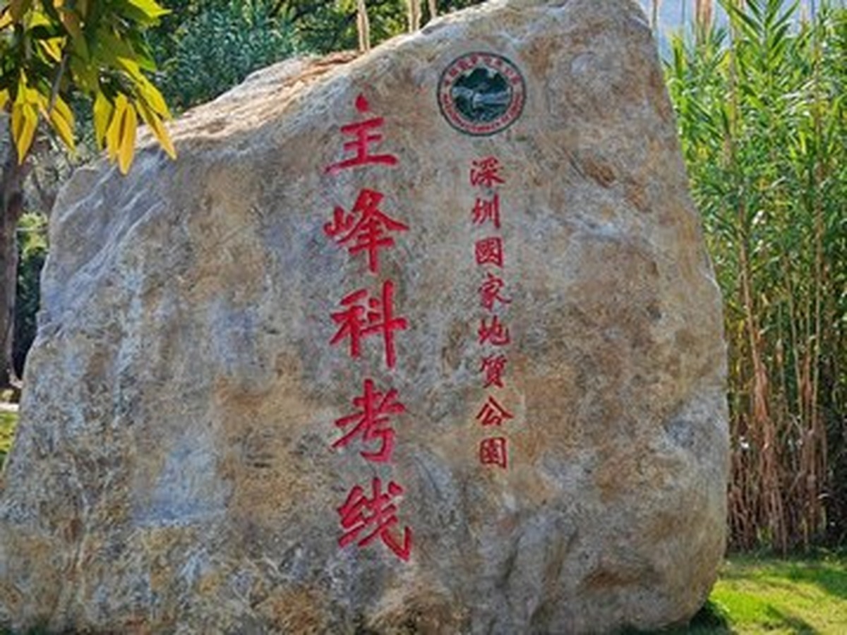
Qinxiang Mountain Main Peak
Qinyang Mountain Peak
You can find Qinyang Mountain Peak at ‘深圳市大鹏新区南澳街道新大社区七娘山’. Noting this location, the peak is characterized by its high ridge views of volcanic terrains and various beaches on Dapeng Peninsula. Before visiting, confirm the opening of geological park gates and registration for hiking; cancel entrance to ridges in bad weather. If you come across different information between the official accounts and updated maps, it's safer to contact Qinyang Mountain Peak directly. Additionally, if forecasts of heavy rain, typhoons, or lightning appear, cancel visits to valleys and ridges and prioritize park closure notices. Record the most impressive details after your experience at Qinyang Mountain Peak.
주소 深圳市大鹏新区南澳街道新大社区七娘山
방문 확인 지질공원 산문 개방과 등산 등록을 확인하고 악천후에는 능선 진입을 취소한다
Sanzhoutian Forest Park
Sanshoutian Forest Park
To avoid mixing up Sanshoutian Forest Park with other locations, move by using ‘深圳市盐田区盐田街道三洲田森林公园’. The focus here is its unique identity as a forest area overlooking the Meisha region while walking through traces of reservoir fields and tea plantations in the eastern mountains. Check for reservoir protection and construction among other controls before going to Sanshoutian Forest Park, and differentiate between private facilities of Donghua Chaokaoqing and public paths. Since unannounced events or maintenance may happen, confirm the operational status of Sanshoutian Forest Park on the day of your visit. If forecasts indicate heavy rain, typhoons, or lightning, cancel visits to valleys and ridges and prioritize park closure notices. Useful notes include the access route and open areas from your visit to Sanshoutian Forest Park.
주소 深圳市盐田区盐田街道三洲田森林公园
방문 확인 저수지 보호·공사 통제를 확인하고 동부화차오청 사유 시설과 공공 길을 구분한다
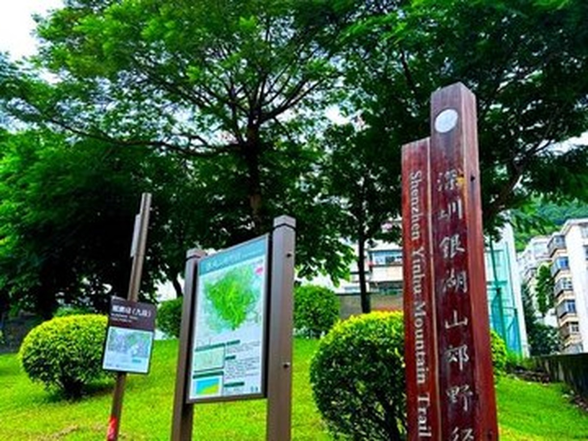
Yinhu Mountain Qiya Park
Inhushan Park
Saving ‘深圳市罗湖区清水河街道银湖山郊野公园’ on your map will help distinguish Inhushan Park from other locations of the same name. The reference here for viewing Inhushan Park is clear; it connects the long ridges and forest paths between Futian (푸톈), Luohu, and Longgang as it embodies the northern green corridor of the city. The most crucial thing to consider when using Inhushan Park is preparing an offline map considering the many crossroads and long descent distances while avoiding tunnels and road entries. Reassess closures and controls the day of your departure as well. According to the context of the list, if there are forecasts of heavy rain, typhoons, or lightning, cancel visits to valleys and ridges and prioritize park closure notices. Record your experiences along with travel times at Inhushan Park.
주소 深圳市罗湖区清水河街道银湖山郊野公园
방문 확인 갈림길과 긴 하산 거리를 고려해 오프라인 지도를 준비하고 터널·도로 진입을 피한다
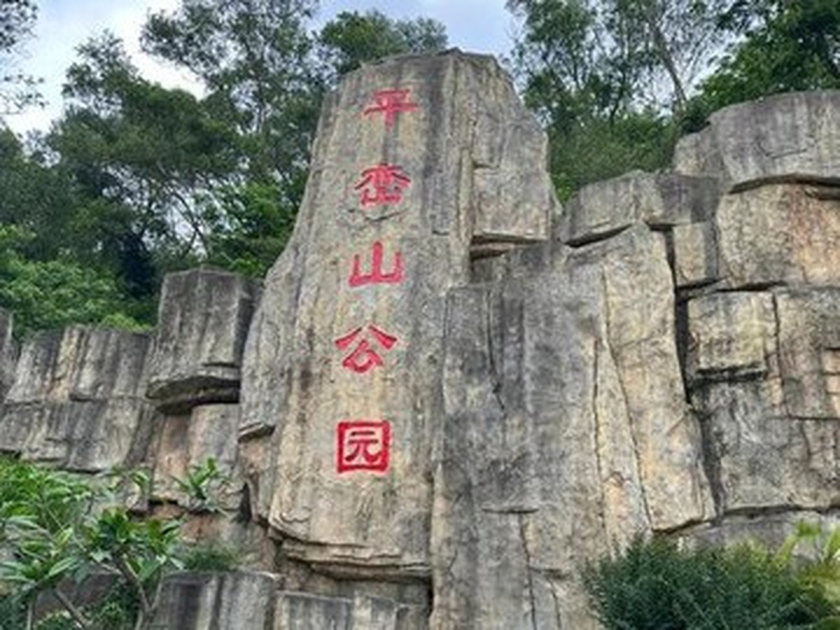
Pinglan Mountain Park
Pinglan Mountain Park is characterized as a lifestyle mountain park where you can view the Baoan residential area, the railway, and airport direction from a gentle trail, making it easier to prioritize for sightseeing, meals, and photography. Set the navigation destination for Pinglan Mountain Park to ‘深圳市宝安区西乡街道前进二路平峦山公园’. To check the current situation at Pinglan Mountain Park, match your pace with other visitors and check the nearest exits for nighttime closures and lighting zones. If online reviews are outdated, place more trust in Pinglan Mountain Park’s official announcements and on-site signage. Should there be forecasts of heavy rain, typhoons, or lightning, prioritize park closure notices and cancel visits to valleys and ridges. Document not only your photos but also how you utilized the park in a comprehensive sentence.
주소 深圳市宝安区西乡街道前进二路平峦山公园
방문 확인 운동객과 속도를 맞추고 야간 폐장·조명 구간과 가장 가까운 출구를 확인한다
By exploring these nine natural spots, it becomes clear that Shenzhen is a city where mountains and the sea intertwine with the actual landscape. Wutong Mountain (우퉁산) and Qinyang Mountain provide expansive views, while Maran Mountain (마롼산) shows valleys and waterfalls, Phoenix Mountain offers culture and forests, and urban park mountains provide short climbs within everyday life. Instead of focusing on reaching the summit, define a return time that fits your ability and observe the changes in plants, rocks, and streams to enrich your hiking experience.
The monsoon waterfalls are beautiful but the slippery rocks and sudden increase in water volume can be dangerous. Avoid going into the valleys or crossing control lines, and be sure to pack hiking boots, water, salt, a backup battery, and an offline map. Match your speed with your party, don’t split at crossroads, and refrain from feeding wildlife. Bring back any trash and descend before the last public transport of the day so you can enjoy Shenzhen’s forests comfortably on your next visit.
The monsoon waterfalls are beautiful but the slippery rocks and sudden increase in water volume can be dangerous. Avoid going into the valleys or crossing control lines, and be sure to pack hiking boots, water, salt, a backup battery, and an offline map. Match your speed with your party, don’t split at crossroads, and refrain from feeding wildlife. Bring back any trash and descend before the last public transport of the day so you can enjoy Shenzhen’s forests comfortably on your next visit.
한눈에 보기
9개
Dawutong Peak
深圳市罗湖区梧桐山风景区大梧桐顶 · 공식 등산로와 산문 시간을 확인하고 안개·번개·강풍에는 정상 구간을 포기한다
Maluan Mountain Longtan Waterfall Group
深圳市坪山区马峦山郊野公园龙潭瀑布群 · 폭우 뒤 계곡 통제와 미끄러운 돌을 확인하고 물가 안전선 밖으로 들어가지 않는다
Maluan Mountain Bilin Waterfall Group
深圳市坪山区碧岭街道马峦山碧岭瀑布群 · 주말 주차·입구 통제와 반환 시간을 확인하고 물놀이 금지 구역을 지킨다
Fenghuangshan Forest Park
深圳市宝安区福永街道凤凰山大道 · 사찰 참배 동선과 등산객 길을 구분하고 일몰 전 하산로와 버스 정류장을 확인한다
Yangtaishan Forest Park
深圳市龙华区大浪街道福龙路阳台山森林公园 · 입구가 여러 구에 걸쳐 있어 출발·도착 지점을 정하고 장거리 종주를 무리하지 않는다
Qinxiang Mountain Main Peak
深圳市大鹏新区南澳街道新大社区七娘山 · 지질공원 산문 개방과 등산 등록을 확인하고 악천후에는 능선 진입을 취소한다
Sanzhoutian Forest Park
深圳市盐田区盐田街道三洲田森林公园 · 저수지 보호·공사 통제를 확인하고 동부화차오청 사유 시설과 공공 길을 구분한다
Yinhu Mountain Qiya Park
深圳市罗湖区清水河街道银湖山郊野公园 · 갈림길과 긴 하산 거리를 고려해 오프라인 지도를 준비하고 터널·도로 진입을 피한다
Pinglan Mountain Park
深圳市宝安区西乡街道前进二路平峦山公园 · 운동객과 속도를 맞추고 야간 폐장·조명 구간과 가장 가까운 출구를 확인한다
위치 한눈에 보기
9곳
이 포스팅은 쿠팡 파트너스 활동의 일환으로, 이에 따른 일정액의 수수료를 제공받습니다.
댓글 0
로그인 후 댓글을 작성할 수 있습니다.
첫 댓글을 남겨보세요.
이런 리스트는 어때요?


이런 리스트도 추천해요


🎲
여기서 멈추기엔 아쉽잖아?
다음에 뭘 볼지 고민하는 시간이 제일 아까워.
주사위가 대신 골라줄게 — 무슨 리스트가 튀어나올지는 굴려봐야 알지.
안 누르면… 평생 궁금하지 않겠어? 👀
